It was a very handsome run down, motor-sailing in fluky conditions. We left before the northerly really got established just to get it over with. Sticking with Plan A which was to sit out the next front until Wednesday in Riedle Bay, was not a goer.... AT ALL! Apart from a little hiccup when the chart plotter wouldn't engage, it was a fabulous day on the water. The Bloke had been poking too many instructions into the chart plotter and it needed to work through them all at it's own pace and not ours. For a while we wondered if we'd need to travel on the backup system - the iNavex plotter on the iPad, but after some 'persuasion' that escalated from flipping all the power breakers to eventually pulling out the power cable to the device, our pulses returned to normal and we were on our way! It's the good ol' I.T. 'radical re-boot'! A technique that didn't let us down.
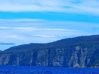
All kinds of cliffs and crevasses
Looking through Eaglehawk Neck at Pirates Bay.
It's barely 150m wide. Enough for a road and little else.
It connects the Forestier Peninsula to the Tasman Peninsula.
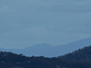
Is Hobart through there somewhere?
A busy day for birds.
Sooty Petrels scarpering out of our way.
Hippolyte Rocks.
You'd definitely need one leg shorter than the other to get about, assuming of course you could climb up first!
Turning into the top of the bay.
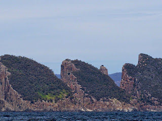
The 'Lanterns' as they are known, guarding the southern entrance to Fortescue Bay.
Just, WOW!
Anchored behind the wreck... just like the book says.
Mission accomplished. This will do us nicely while the next blow passes over. It's so gorgeous it can have a blog of its own. Now for those 5ers!


No comments:
Post a Comment