Live Track - Past 90 daysDistance Sailed to date - 15,383Nm
Download Email Maximum of 160 characters and you cannot include images, as this is a Short Message Service only. Download
Download our track Email us OffShore SMS us OffShore Download GoEast tracks

Tuesday, February 26, 2019

Port Davey Heathland Flowers

The soil around Port Davey, Bathurst Harbour and Mallaleuca is very impoverished and such that it is, is composed of degraded quartzite rock mixed with meagre humus created from those few hardy plants that have managed a toehold in this windswept and inhospitable environment. Clefts between hills have some shrubs and even some trees but for the rest, button grass is the ‘feature’ vegetation. Areas closer and lower to the water are constantly being leached and contribute to the tannins in the water. The waterways are the colour of tea and being freshwater do not mix with seawater. The seabed is shaded by the tannin-load of the surface freshwater layer and sea life reportedly includes organisms normally found in deep ocean.


I took a lot of photos of plants while climbing Mt Beatie and found they didn’t vary much throughout the area. In fact, Mt Beatie had the best range and display of any part we explored in the SW Wilderness.

Everything was small, woody and without extravagance.


Hillclimbing Mount Beatie - Day 3 Port Davey Visit

Having completed our inspection of Breaksea Islands early in the morning, we were left with plenty of time to do our first shore expedition and climb Mt Beatie. Our efforts were to be rewarded with some spectacular views both over Port Davey and down the Bathurst Channel.

Only our dinghy was not in this shot. The Bloke had other ideas about where to come ashore.
 
Our dinghy, all alone.
 
Tannin stained water.

Looking South West beyond Breaksea Islands

Breaksea Islands


Up top

View to the Mauvereens.

We could see the clouds that heralded a wind change, so after climbing down we headed off to Anchorage #3 in as many days - Spain Bay. 

Breaksea Islands - Day 3 Port Davey Visit

Another early start for our dinghy convoy was rewarded by some exploration of the sheltered side of Breaksea Islands. It’s not until you get up close that you can really appreciate that it’s not a single island although it may have begun as one. It’s aptly named since westerly conditions would no doubt cause the seaward side a huge pounding. It’s like a natural attenuator wall. From the seaward side in Port Davey, it completely obscures the entrance into the Bathurst Channel.


Our little convoy using the best of the calm conditions.

  
A yacht is visible sailing around in Port Davey.

 
Swell can sneak in though gaps like this one.

Waves and wind have combined to create this arch

Bull kelp at the waterline

A gulch
We were informed that some of these gaps and caves are 50m deep and come out on the other side but satisfied with simply being told of this and not in the least keen to verify the fact.

  
There is some courageous vegetation on the lee side, but not much.


Monday, February 25, 2019

Tasmanian West Coast Legend - Day 2 Port Davey Visit

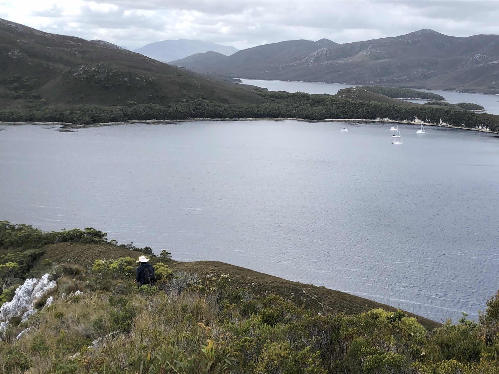
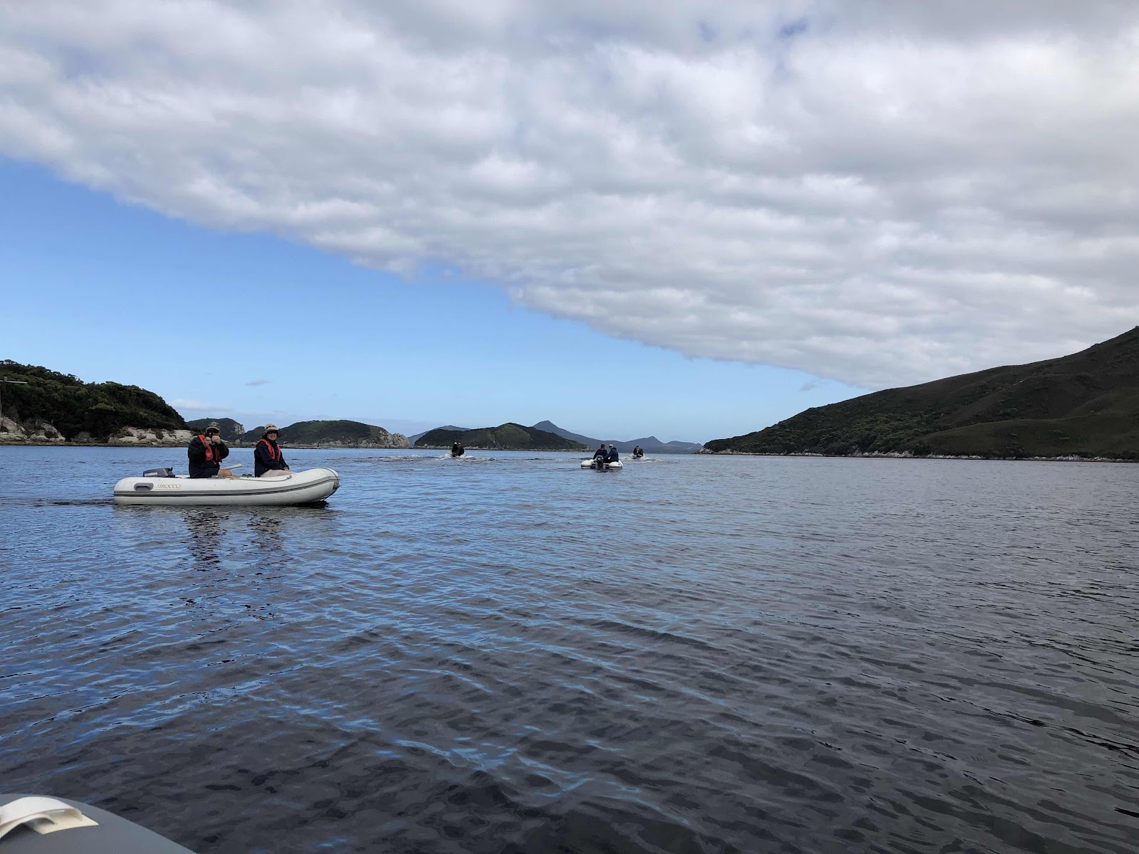
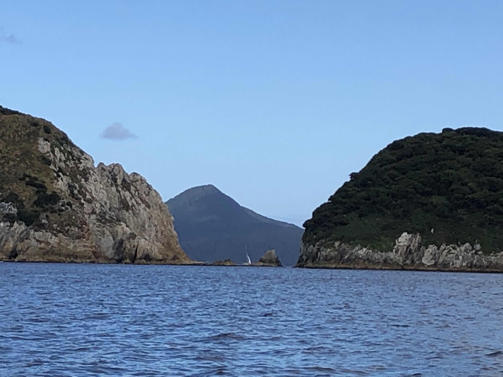
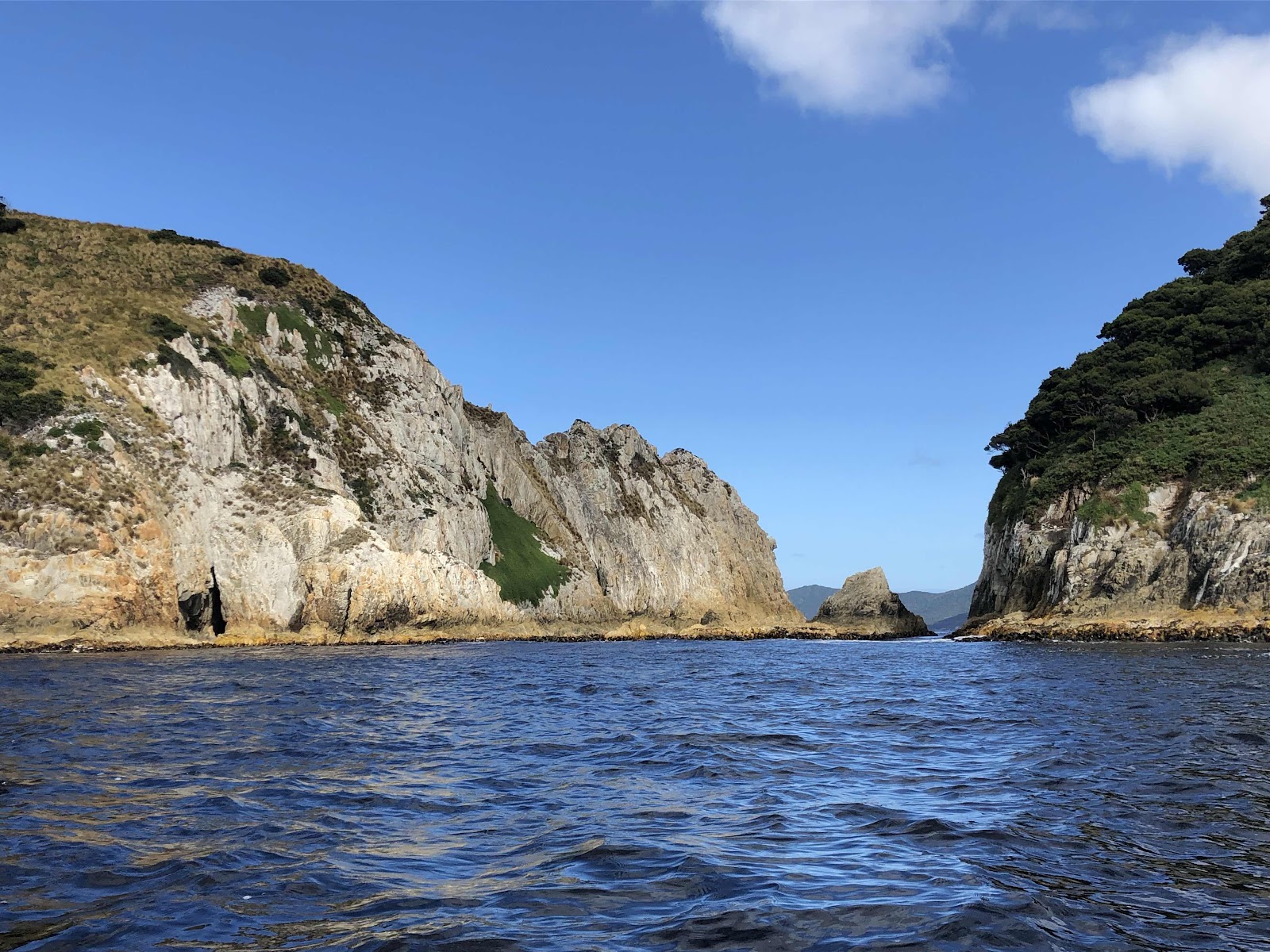
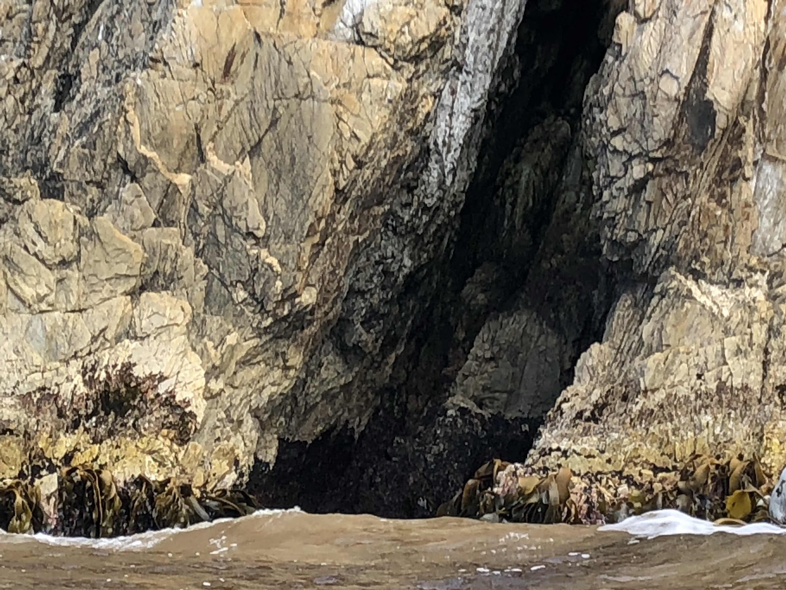
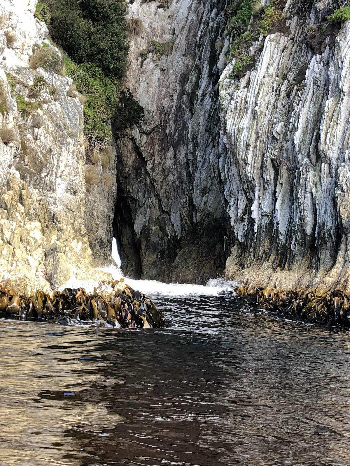
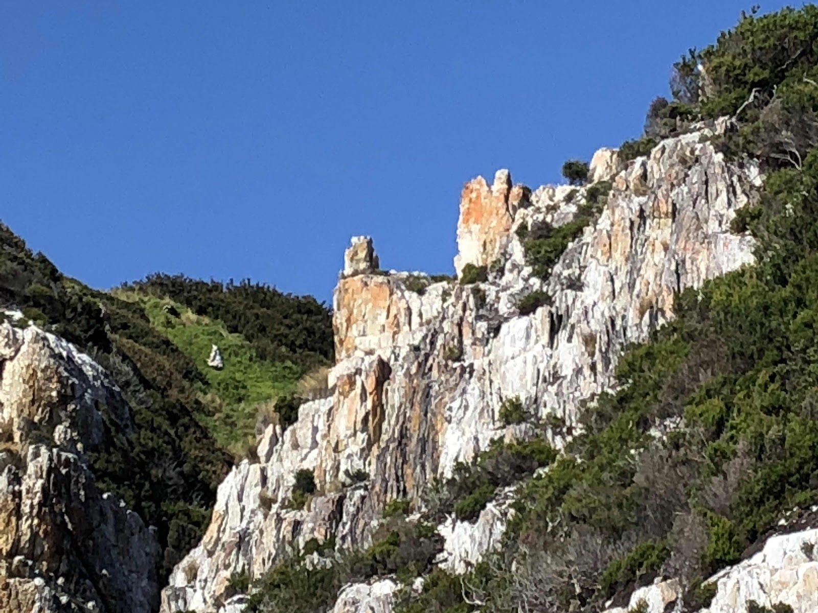
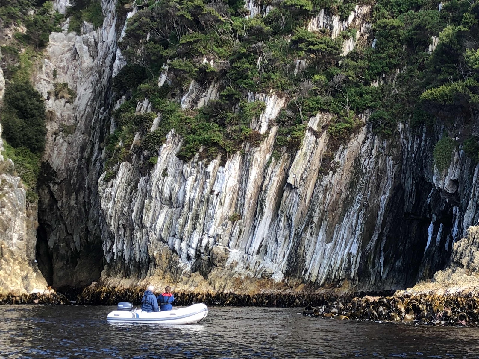
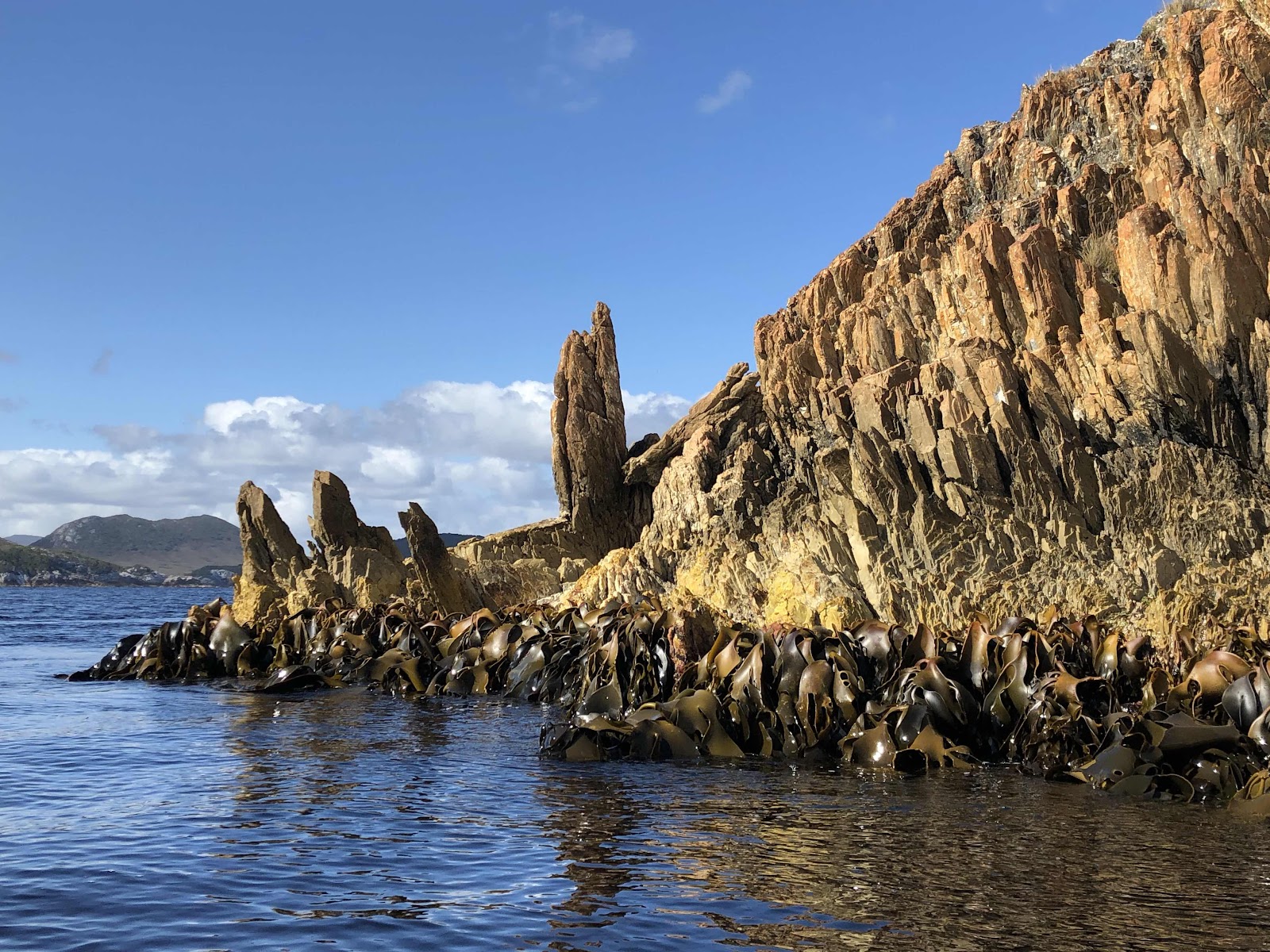
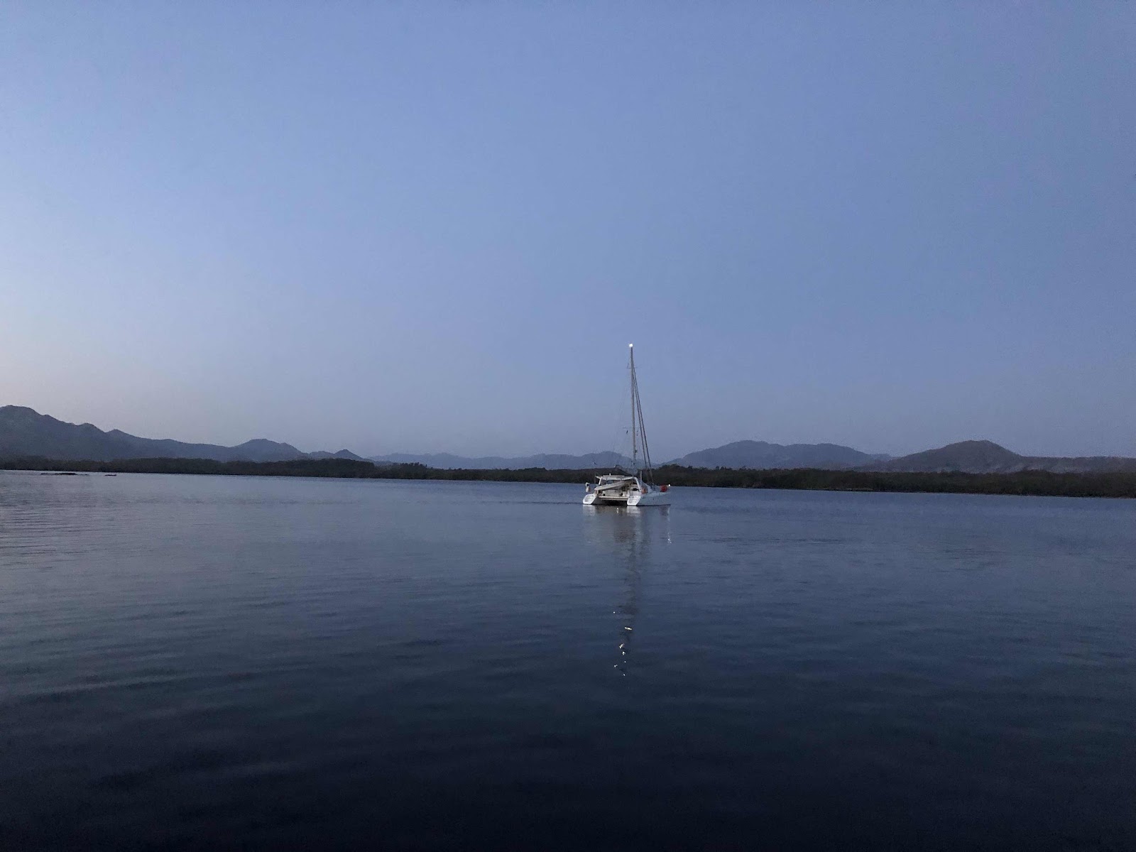
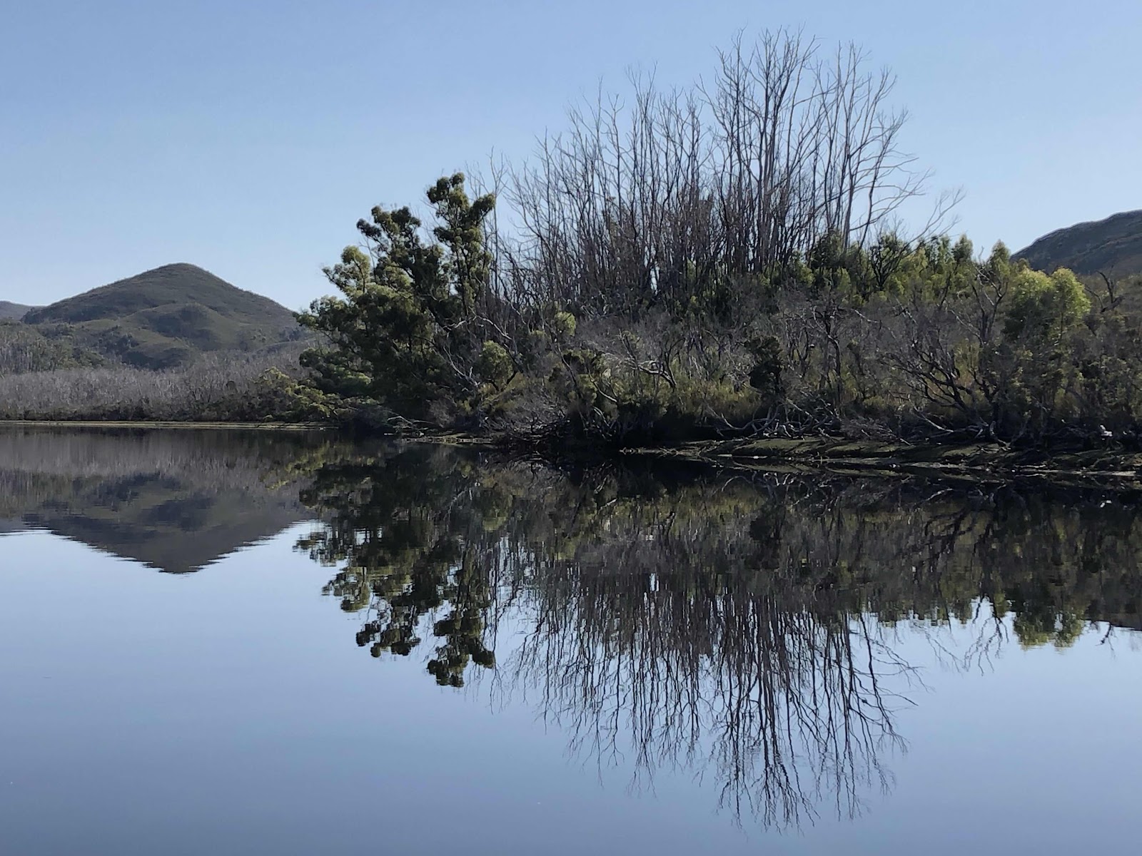
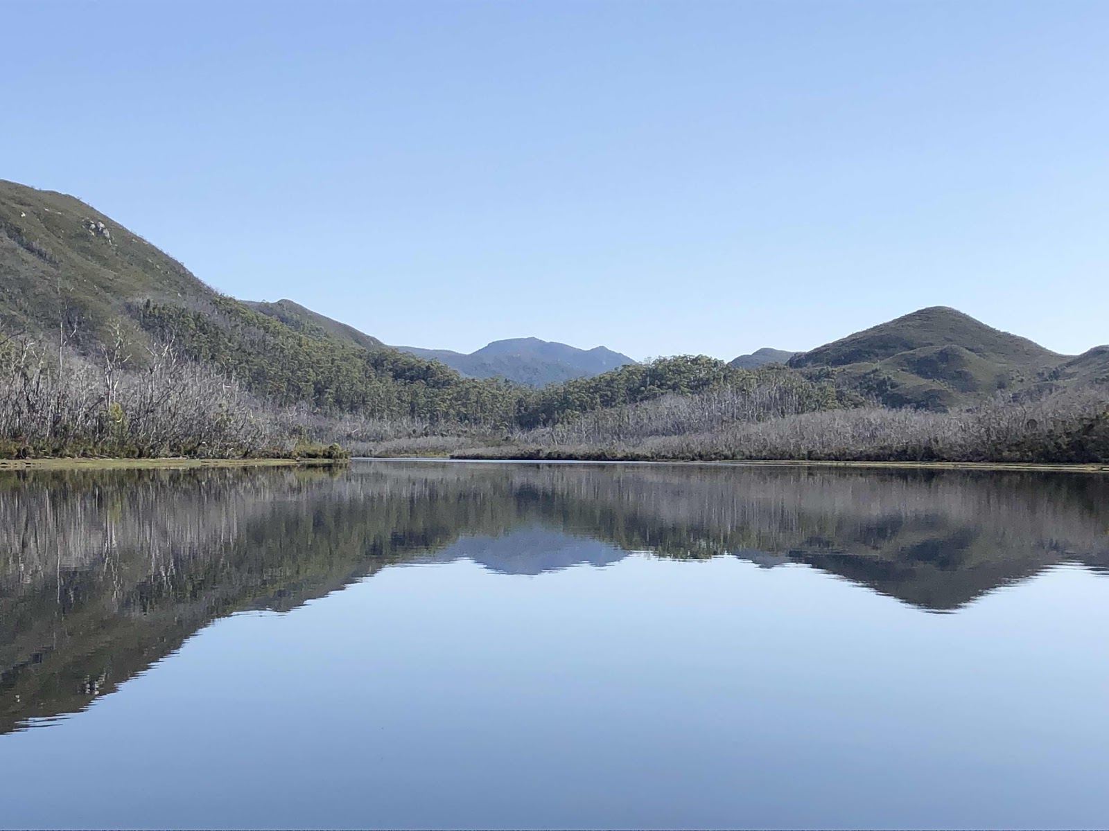
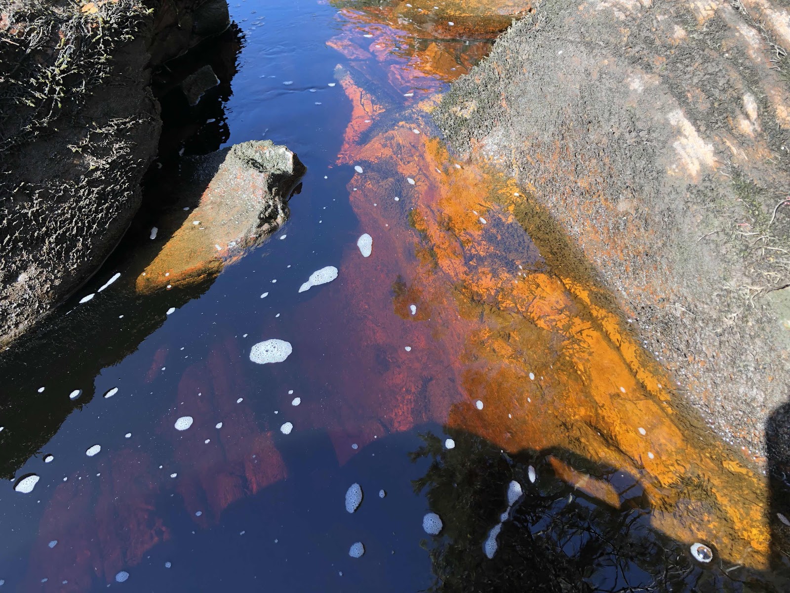
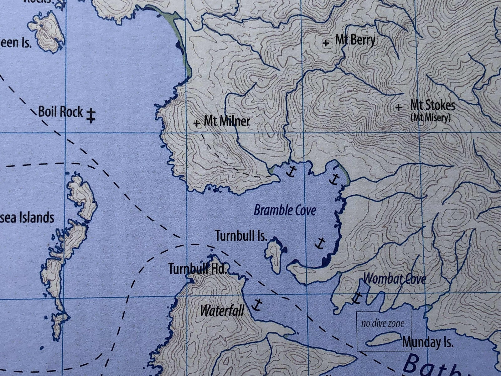
The weather is King in these parts and lingering at the anchorage at Carvers Point in Port Davey was not a good option. We were able to receive weather information from the 3 daily TasMaritime Radio broadcasts there and a re-location was definitely called for. We'd been lucky to capitalise on a small weather opportunity to visit the Davey Gorge in the morning but now was time to find a spot for a small ‘change’ due overnight. We headed for Brambles Cove beyond the Breaksea Islands at the head of the Bathurst Channel.  This narrow strip of rocky islands form a screen in front of the entrance to the Bathurst Channel and Bathurst Harbour beyond. We would be shielded from anything from the west. What a curious landscape this is.


We’d not long been anchored before some radio traffic involved relaying messages between boats beyond radio range of one another. Since VHF radio relies on line-of-sight, the steep valleys and quartzite hills create a lot of interference and dead spots. Co-operation between boats is critical and we all needed to know the weather, right? Weather messages were relayed between invisible boats. The booming voice of an old hand cut in. Someone on La Golondrina. Wait a moment, we’d been told about La Golondrina by Richard and Marianne of Tauranga and of her legendary skipper, Morrie. A quick call was immediately put out to confirm if he was this 'Morrie'. Greetings on behalf of Richard were exchanged. "Where were we" he asked? Brambles Cove we answered, adding that if we should be spotted, he should consider himself ‘invited’ for a cuppa and cake. We’d be easy to spot, a mono in company with a ketch, and not just 1, but 3 catamarans!
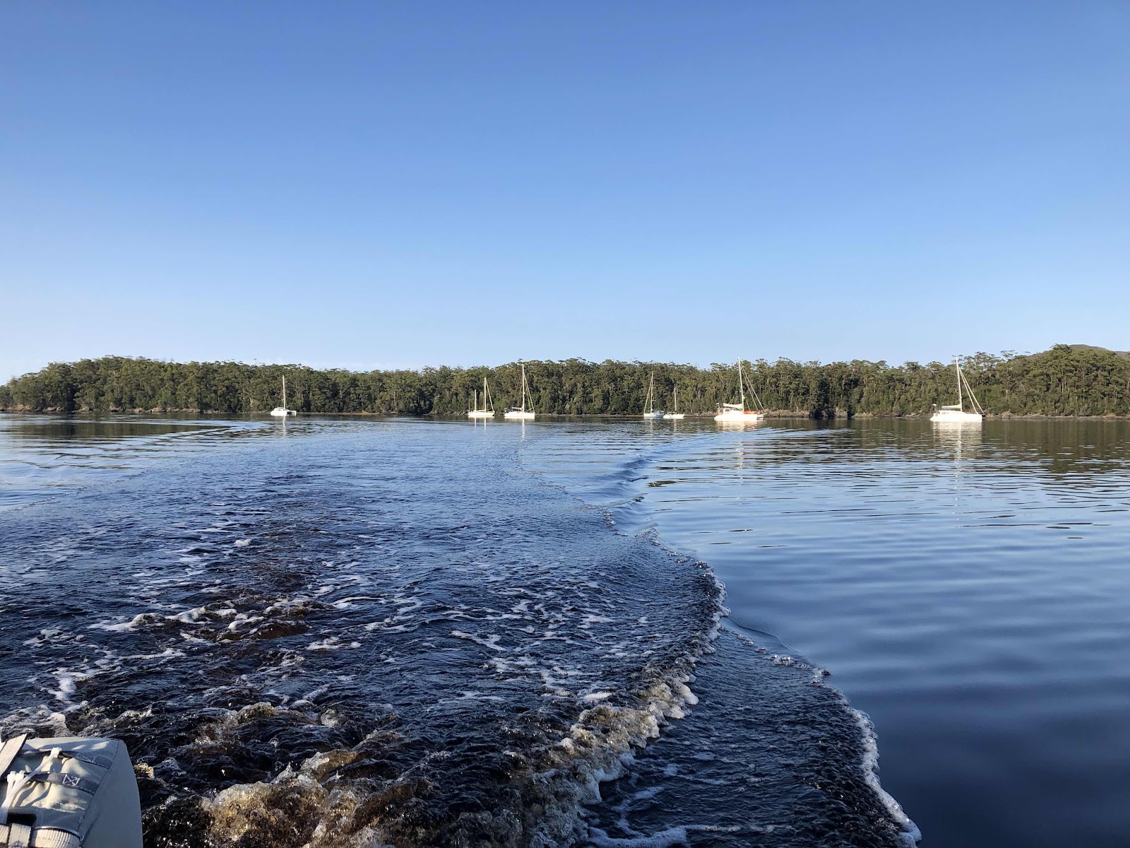
La Golondrina 
 
As luck would have it, La Golondrina was at that very moment turning into Brambles Cove, confirming our selection of anchorage to be a good one. 
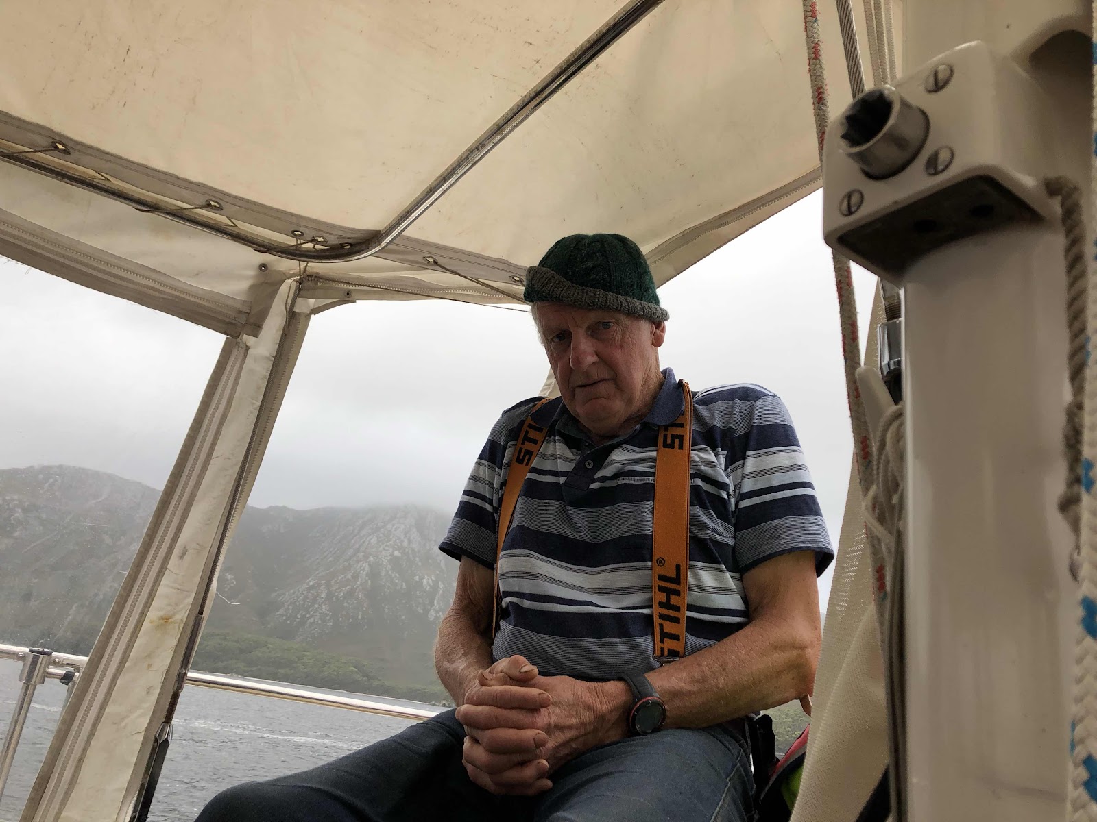
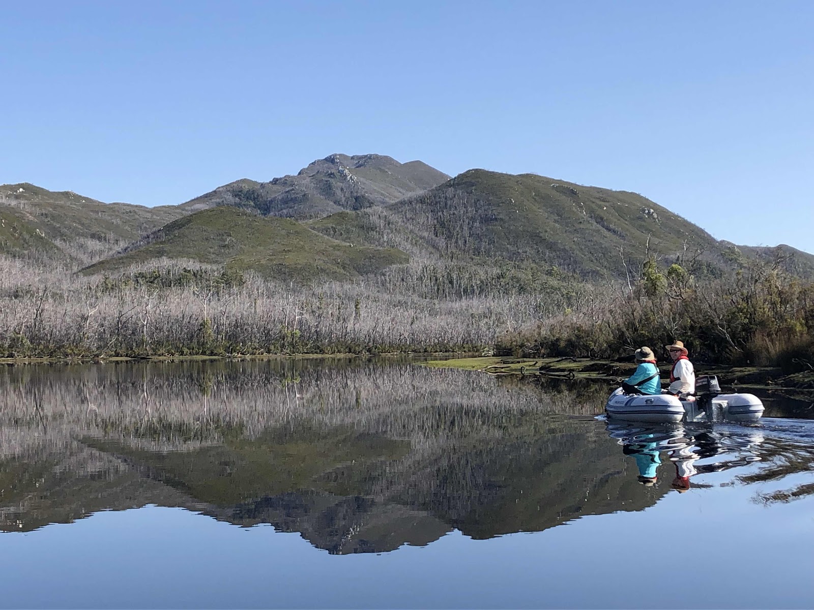
Morrie Wolf knows this place like the back of his hand and these days conducts fishing charters and logistical support for kayaking eco-tourists within Port Davey and Bathurst Harbour.

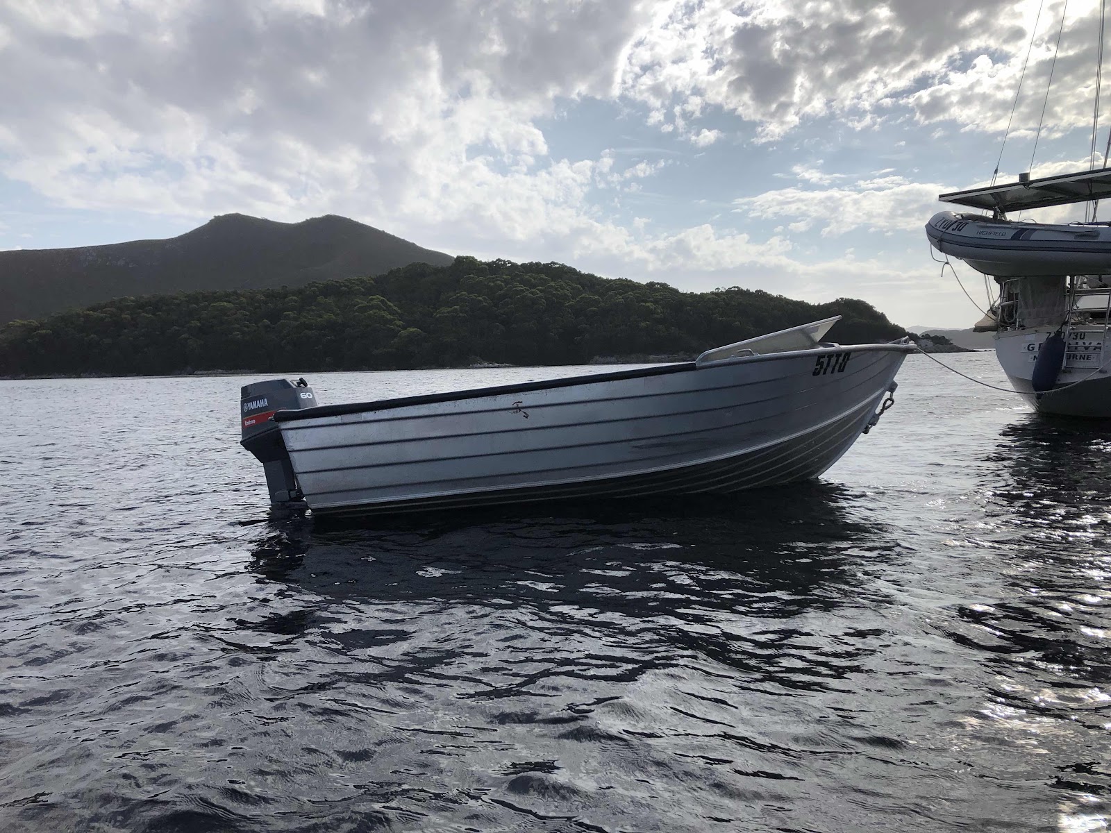
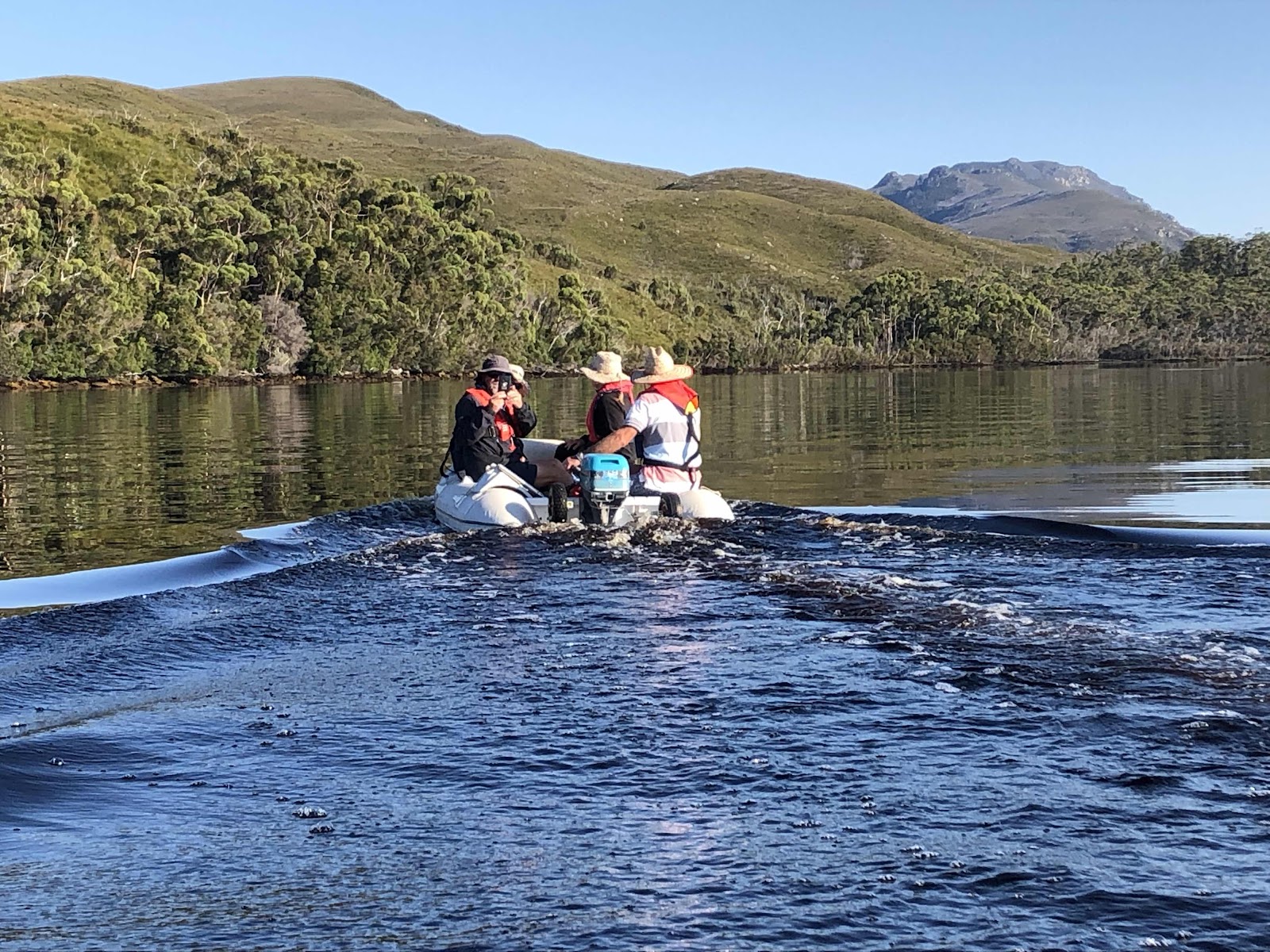
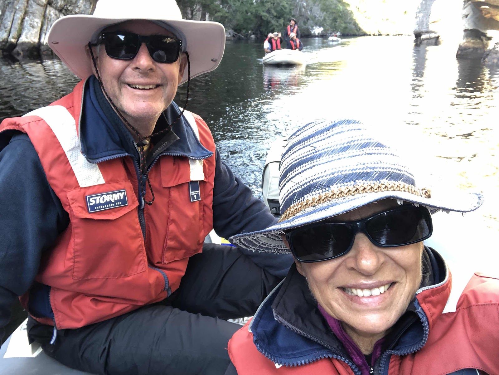
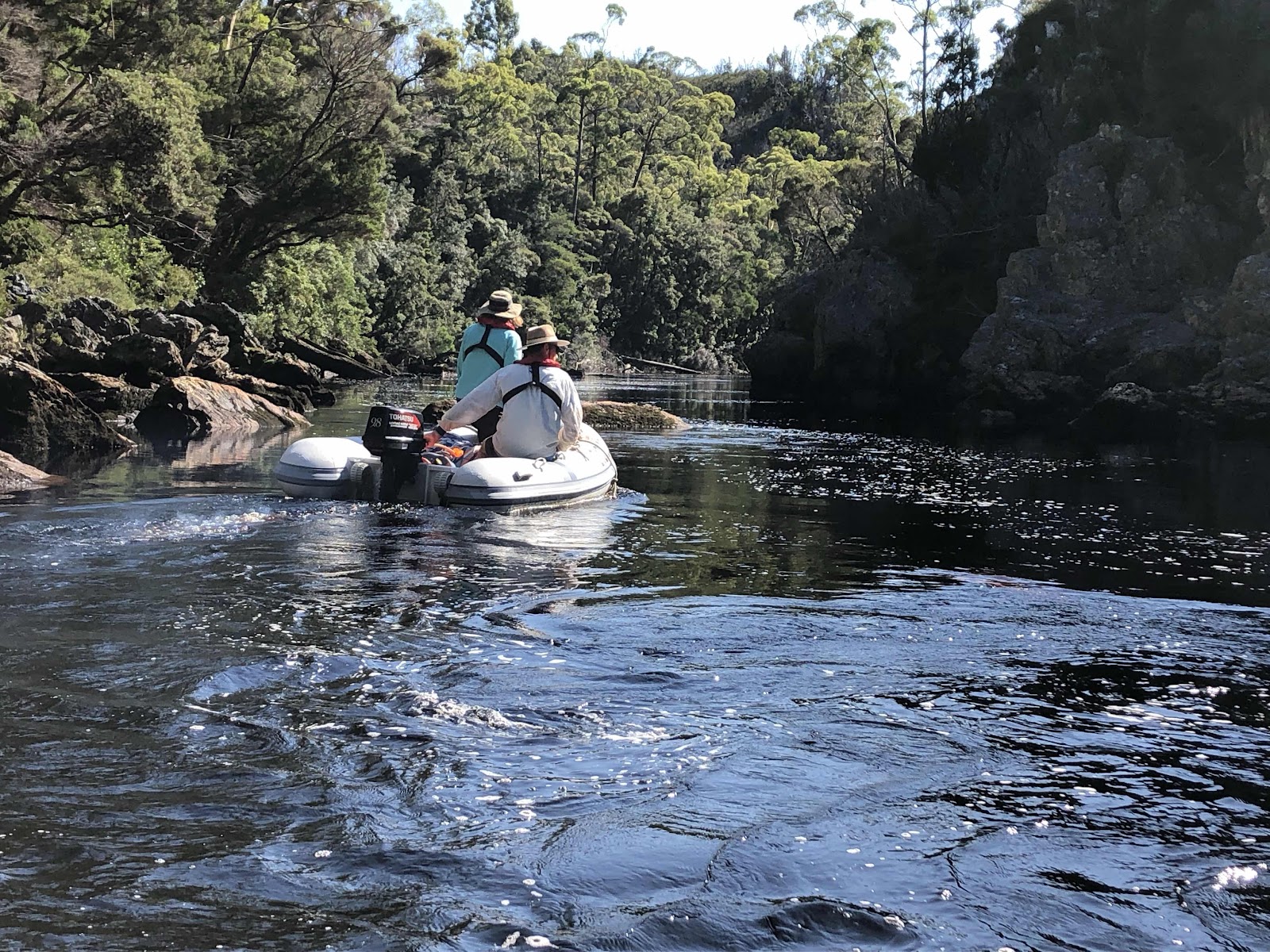
Now THAT’S a tinny! Tall sided and with a powerful outboard.

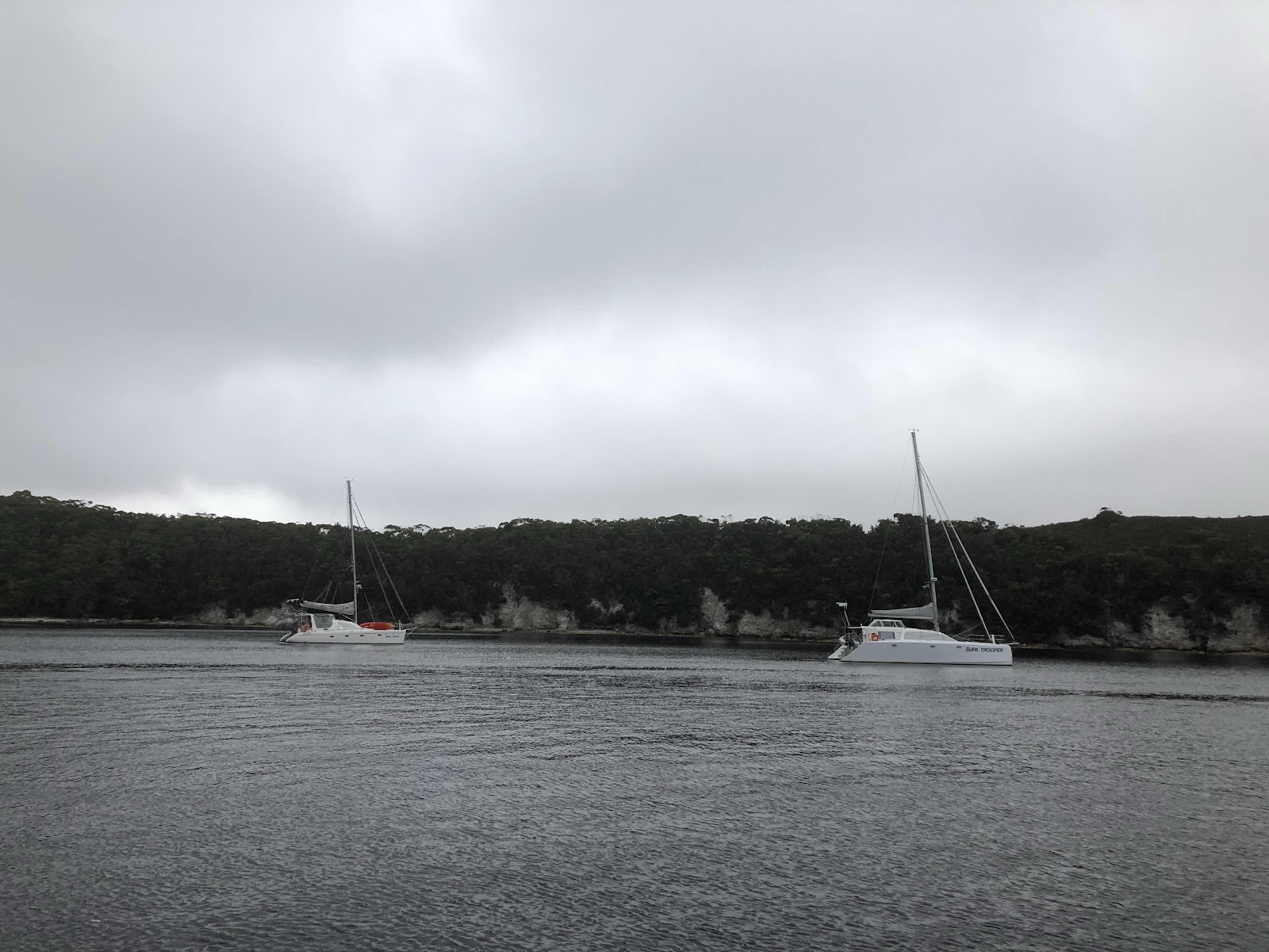
Tucked in for the evening, safe from the evening weather 'change'.

Since we were invited for an anchor dram aboard Gradiva, it being their turn, Morrie and deckhand Peter were encouraged to join the rest of us. Taking little encouragement, we sat in thrall of this ‘Old School’ retired Tasmanian cray fisherman. We were told story after story.


From watching Garry Kerr’s Australian Maritime History DVD entitled “Crayfishermen of Tasmania” in which 10 old-time cray fishermen were interviewed, we were already familiar with Morrie’s credentials. And here he was in the flesh! To say this put us in the mood for exploring Port Davey and Bathurst Harbour would be an understatement.  We were in company with a local legend!
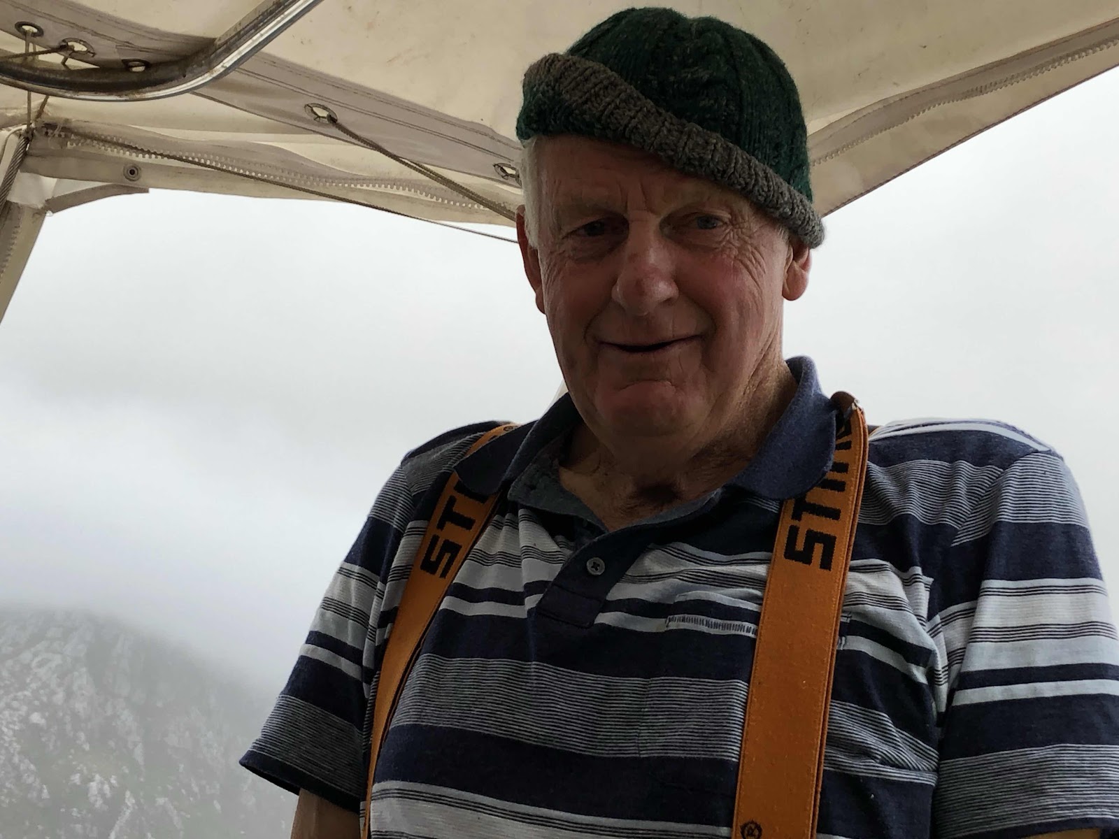
Morrie Wolf

Davey River Gorge - Day 2 of Port Davey Visit

As luck would have it our arrival in Port Davey coincided with conditions enabling us to make a trip up the Davey Gorge. A round of anchor drams aboard Zofia gave everyone the chance to regale their run in and exchange intel about going up the gorge.

Sans Soci settling in for the night.

Setting off early was the recommendation since this would maximise the opportunity of there being reflections in the still water ahead of the arrival of a sea breeze. Our convoy of dinghies included, Deb and Steve from Stray Cats, Rachel and Scott from Gradiva and a 4 man team comprising Juliana and Hugh from Sans Souci and Susie and Paul from Supa Trooper. We took turns to take the lead to optimise everyone's chances of enjoying the reflections.


Leaving our boats behind.

Chevrons of swans clattered loudly.

The tallest hill on the right seemed miles away - and it was!
Most vegetation was low scrub but taller timbers did succeed in places.

The reflections got better and better.
 

It was so easy to loose perspective and feel unsure about which way was up.

The scenery was lovely.
The evidence of past bushfires caused by lightening strikes was noticeable. 


Our early start ensured we had still conditions that maximizing the beautiful reflections on the water.


Eventually the waterway narrowed and we began to wind through the gorges.


After turning back, we let the current flush us out. 

A close-up of the tea coloured water.
Our early start was well rewarded. We were already returning by the time the wind was chirping up and before other visitors tore up our view.
Our very first day in this wilderness area and after a 14km dinghy trip we were already gobsmacked and had fallen in love with this place.