Stanley was supported as a good destination by the locals on King Island so the Googling began in earnest. What we saw, we liked and the topographical map with its mesa shaped feature called 'The Nut' on the end of a peninsula was irresistible. It screamed to us, 'come here and climb me!'. So we did.


Even the approach to the car park and start of the climb was pretty steep.
The Bloke's 'big hair' look is on account of the wind!
The Bloke's 'big hair' look is on account of the wind!
You can say you weren't warned - more crumbly cliffs!
So far, so good. Keep up Evz!
After a while the Bloke sings a different song.
The chair-lift option almost looks appealing.
The chair-lift option almost looks appealing.
It's official! 143m
Once you get to the top there is an undulating path of around 2km length. Here is what we saw.
Historic Highfield House across the bay.
Beautiful saffron coloured lichens on the rock face and Islet below.
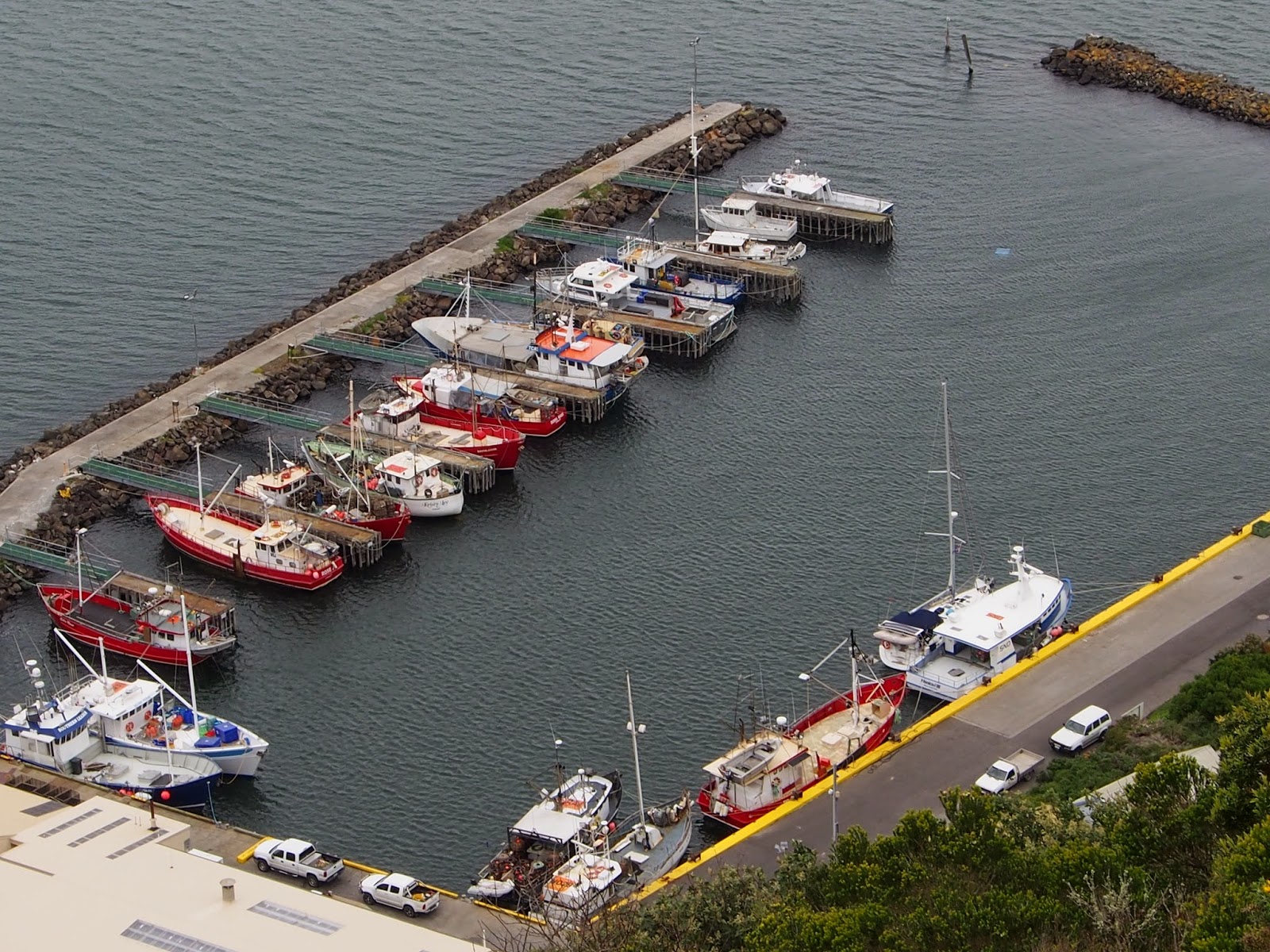
Bird's eye view of the Stanley Fishing Boat Harbour.
Your not done walking just because you've climbed to the top. There is another 2km walk around the mostly flat top. There's hardly anything growing on the top above waist height except on the southern and more sheltered side where there were some little valleys with small trees and shrubs. My oh my, if this is just what is left of a volcanic plug, what size must it have been in the first place?


Two types of wattle


Gorse, grasses and bracken ferns up top.
View over the town
The Bloke shuffling his way down.
If you can't make it, the Stanley cemetery awaits ominously below.
No comments:
Post a Comment