We had a crazy moon show last night that we couldn't initially quite figure. A full moon which was a strange purple colour and was starting to vanish as if behind a cloud then looked as if it were blinking and pulsing but the sky was largely cloudless and the stars near the moon shining as per normal. Very perplexing until we checked and learned it was a lunar eclipse. No ordinary lunar eclipse though, it's the 2nd of a tetrad (4) of full moon lunar eclipses that will occur every 6 months until September 2015. During this century, this phenomenon of tetrad lunar eclipses will occur 9 times. Between 1600 and 1900 there were no instances of this. How lucky to witness such an event!
We left a very still Grassy Harbour at 07:00 in almost no swell after an initial delay. We couldn't acquire a GPS signal on our C80 Raymarine - our autopilot/chart plotter. The AIS, VHF, phones, iPads etc all had a signal but not the autopilot. The iNavx (backup navigation) on the iPad was dropping in and out and since the VHF feeds from the same signal as the chart plotter, we decided to drop the mooring leads and see if repositioning ourselves helped. It did, so we were safe to go. Our exit, without a swell was so very different from our arrival and with the help of a little newly acquired familiarity, it made our departure easy.
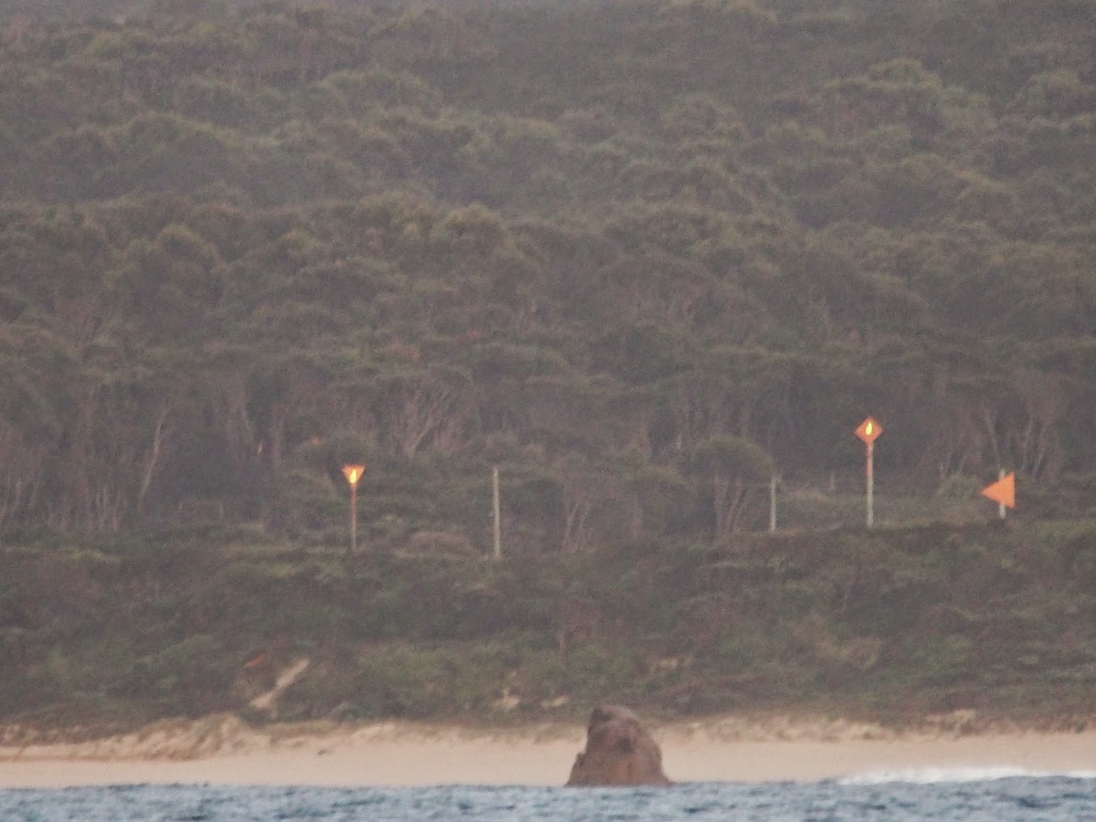
Leaving Frog Rock and the entry leads to Grassy Harbour behind at dawn.
The wind was so light that we had to motor.... again! We are going to be the 'Numpties' that motored across Bass Strait! Once out of the lee of King Island the swell popped up again and announced itself at between 2-3m. We tried to put the sails up but the wind was absolutely behind us and tacking through the swells made no sense and would have us out longer than we wanted in view of our plans to anchor for the night. Sticking to 'Captain Paul's 5knot Rule' meant motoring and that was that. We wanted daylight to see where we were anchoring and we might well be rusty with the 'dark art' of anchoring. We have spent the last 6 months- yes 6 months, either on a mooring or tied to a jetty! That's the downside of traveling along the southern coasts through the winter months.
We logged onto Smithton Radio (Channel 21) in the morning and logged off ahead of their evening scheds at 17:00. The operator checked if we'd be staying for a few days at East Telegraph Bay and if wanted to be included on their scheds the next morning. When we said we'd be moving on to Stanley we were given half a dozen helpful restaurant options. It's good to know that we won't starve to death at Stanley!
We reached the top end of Three Hummock Island during the flood tide and crossed a maelstrom of water in a tidal race against the swell and wind. Although Whiskers had recommended an anchorage called Cave Bay at the southern end of Hunter Island we chose to avoid it because of the tidal race between Hunter and Three Hummock Islands. We hadn't necessarily expected to encounter something similar out on the cape but heck it's that 4 letter word again 'Cape'! Choosing East Telegraph Bay also meant that when we made for Stanley on our next leg, we could do so on a single tack.
We needn't have worried about the rusty anchoring skills. We dropped an initial 15m of chain which snatched nicely almost immediately. Out went another 40m to accommodate the 3m tide and guarantee a sound sleep. Thanks Andrew and Carolyn - happiness is indeed 50m of chain in front of you and 1,000km of open ocean behind you!
The overfalls - wind, tide, swell and the whole shooting match, fighting it out!
The Navigation light at Cape Rochon.
Interesting rock formations on the headlands of Three Hummock Island
Part of East Telegraph Bay
Dusk on the northern headland.
The beach and one of the 3 Hummocks
(which incidentally, are visible from the Nut at Stanley).
And now to go below for 5ers and bed!


No comments:
Post a Comment